

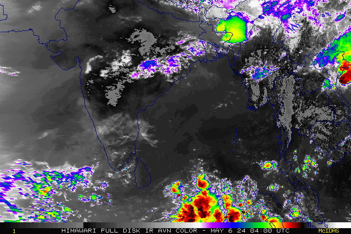
A cyclonic circulation has been persisting over the Gulf of Martaban near Burma and the adjoining North Andaman Sea over the past few days.
It has set up a trough that runs squarely across the Bay of Bengal, North Tamil Nadu, Kerala and reaches into the Lakshadweep area. This East – west Shear zone would set up instability in the atmosphere in the above mentioned areas and might Trigger violent Thunderstorms.
As such, this would translate into heavy to very heavy rain at isolated places over South Interior Karnataka, Rayalaseema, Coastal Andhra Pradesh, North Tamil Nadu including Chennai and Puducherry today.
The axis of South West monsoon trough at mean sea level passes through Ganganagar, Kaithal, Varanasi, Jamshedpur, Digha and hence southeastwards to north Andaman sea.

City Outlook:
Chennai – Generally cloudy sky with an expected maximum of around 35 degrees and a minimum of 25 degrees. Thunderstorms would visit the city by evening/Night.
Coimbatore – Generally cloudy sky with a high of 32 degrees and a low of 23 degrees. Few Thunderstorms are expected in the region.
Madurai – Generally cloudy sky is expected with a Maximum around 37 degrees and a minimum of 25 degrees. Thunderstorms are expected in the Vicinity.
Tiruchi – A cloudy sky is expected with a High of 36 degrees and a low of 26 degrees. Chances of precipitation exist.
Vellore – A cloudy sky is expected with Thunderstorms in the evening. Temp would be maximum of 34 degrees and a minimum of 26 degrees.


