

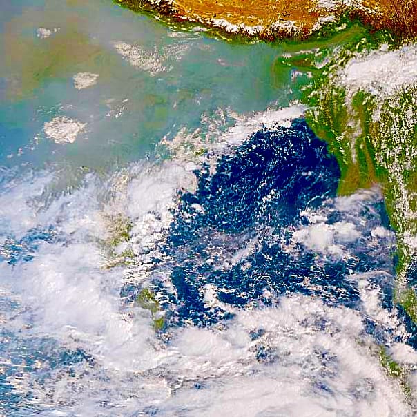
Northeast monsoon rains remain active over Tamil Nadu and adjoining areas of Andhra Pradesh due to multiple weather systems — a WML over the Arabian Sea, an upper air cyclonic circulation (UAC) over the Gulf of Mannar, and another UAC over the South Bay of Bengal. As a result, Tamil Nadu has been experiencing enhanced rainfall activity. With easterlies expected to strengthen from tomorrow (20th October 2025), rainfall is likely to increase further over coastal areas, including Chennai City.
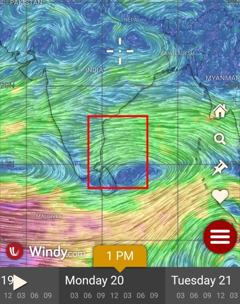
Numerical weather models indicate the formation of a low-pressure area over the South-Central Bay of Bengal, which may intensify and move closer to North Tamil Nadu and adjoining South Andhra Pradesh by 23rd October. Consequently, rainfall activity is expected to pick up from the night of 21st October across North Tamil Nadu and South Andhra Pradesh. Further updates will be shared as forecasts gain more clarity.
In the meantime, intermittent spells of rain are likely to persist over coastal Tamil Nadu, including Chennai City — with coastal areas likely to receive heavy rainfall during the night and morning hours, while interior regions will experience afternoon showers which is a typical feature of easterlies.