

A fresh low is expected to pop up soon in head Bay of Bengal and cross Odisha coast. It will be moving inland thereby strengthening the monsoon winds all along the west coast.
The development dynamics of this low is going to create favourable conditions for thunderstorms to form in the interiors of TN. Favourable steering winds are bound to guide these thunderstorms tantalizingly close to the coast. While this could spark rains much to the delight of the Chennaites, it could also keep the players, Groundsmen and the fans at tenterhooks thus providing a nail biting finish to Cricket and rains.
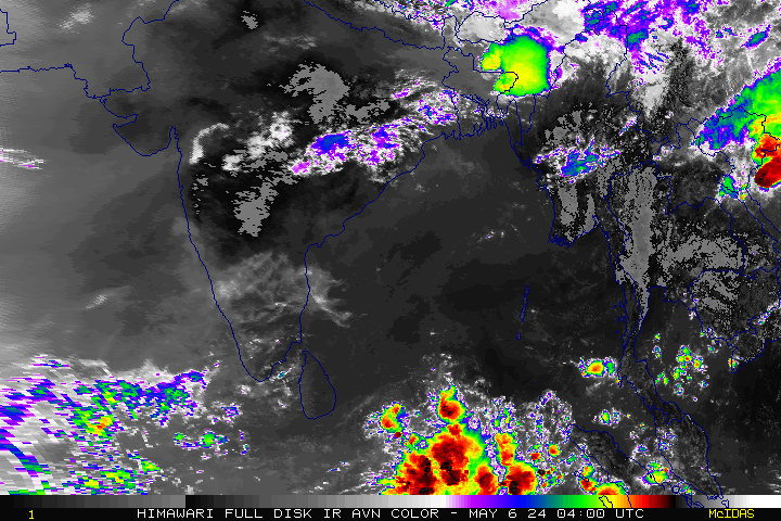
Southwest monsoon has been active over Kerala, Coastal Karnataka and Rayalaseema. An off-shore trough runs from South Karnataka coast to Kerala coast which is generating the much needed rainfall for the places all along Kerala coast and southern tip of Tamil Nadu.
CRICKET MATCH UPDATE:
The much awaited India vs Australia ODI is finally back to Chepauk. Forecast suggests that there is a decent possibility of Thunderstorm around late evening/night to affect the game but won’t be good (or bad ?) enough to stop the thriller today.

City Outlook:
Chennai – A warm day with temperature hovering around 35/36C with a chance of decent Thunderstorm towards late evening/night.
Vellore – A hot sunny day with temp around 35c followed by strong thunderstorms later in the day.
Coimbatore – A warm day with temp touching 33/34C followed by a decent chance of rainfall in few places.
Trichy – Another hot day with temp touching 36/37c followed by strong thunderstorms around late evening.
Madurai – A sunny day with 35/36C followed by strong thunderstorms in the evening.


