

An upper air circulation over the southeast Bay of Bengal is expected to intensify to a low-pressure area within the next 18 hours. Numerical weather models predict this system will move westward and further intensify into a depression over the southwest Bay by 25th November.
With the favorable influence of an Equatorial Rossby Wave (ER Wave) and the Madden-Julian Oscillation (MJO) over the Indian Ocean, the system shows potential to strengthen further into a cyclone by 26th November, potentially heading toward the Tamil Nadu coast. However, the system’s intensification into a cyclone will also depend on its proximity to Sri Lanka’s landmass.

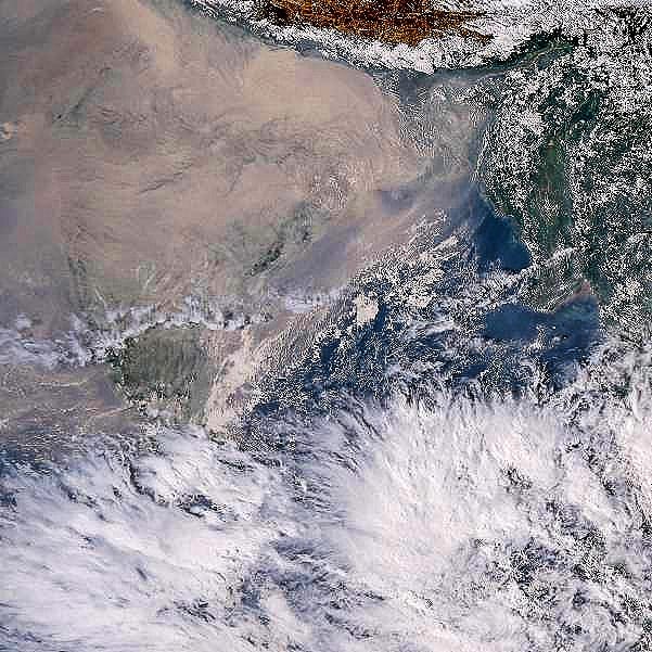
Bay is buzzing with convection! Low pressure area is likely to develop over SE bay in next 24 hrs
Rainfall Forecast for Tamil Nadu:
From 23rd November evening: Light to moderate rainfall is likely along coastal Tamil Nadu, including the KTCC districts, as moisture begins to reach the coast.
From 25th November night: Rainfall activity will increase across Tamil Nadu as the system intensifies and approaches the southwest Bay of Bengal.
From 26th November: Heavy to very heavy rainfall is expected across several parts of Tamil Nadu.
Further updates will be shared as the system evolves.