Rain essence to linger over Tamilnadu
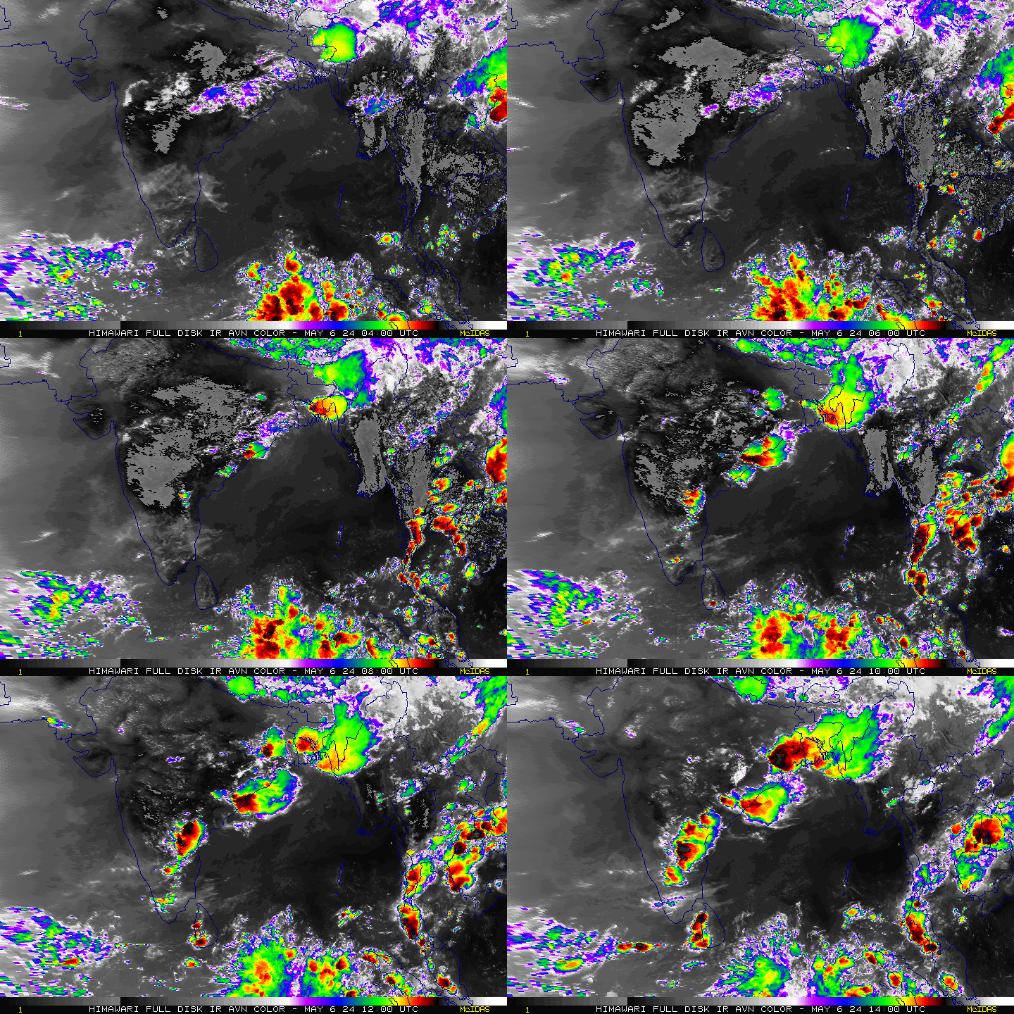
The Monsoon axis has shifted to the foothills of the Himalayas and so are the rains which are currently confined to the North eastern states of the country. Heavy falls are expected in Assam and Meghalaya. Monsoon rains have greatly reduced in Central, Northern and Western parts of the country with no major rain driving mechanism around. West coast rains continues to remain subdued.
The Cyclonic Circulation over Gulf of Mannar in conjunction with North-South Trough aligned between Rayalaseema and South Tamil Nadu has been instrumental in igniting stupendous rains in the interior parts of Tamil Nadu. The momentum and the essence of rains is all set to linger on for the next few days in the state as moisture feed from the trough into the atmosphere is unrelenting. Rainfall departure of SWM as on date stands at a colossal +38% for the TN state.

City Outlook:
Chennai – A hot day with temperature hovering around 35/36C with a chance of TS late night.
Vellore – Yet another hot day with temp around 35c followed by strong Thunderstorms.
Coimbatore – A warm sunny day with temp touching 33/34C followed by good rains in the evening.
Trichy – A hot day with temp touching 36/37c followed by strong thunderstorms.
Madurai – A sunny day with 35/36C followed by strong TS in the evening.


