
Thunderstorms to rev up in Tamil Nadu
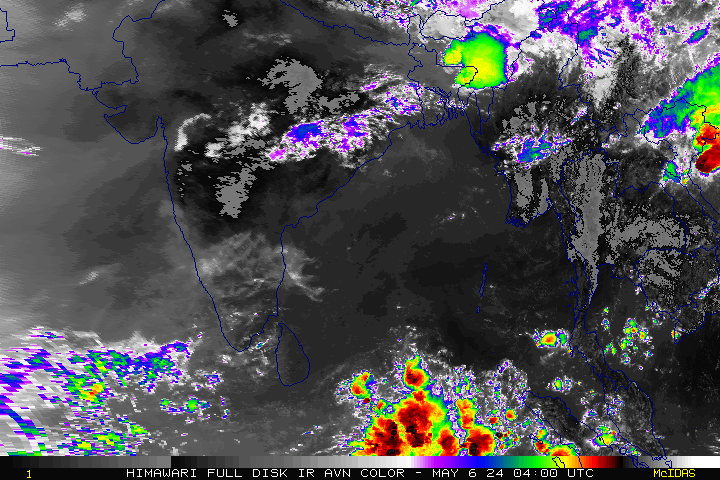
Vigorous SWM activity has moved further west towards Kutch and neighbourhood, as a Well Marked Low Pressure area lies over this region. It is forecast to intensify one level to become a depression. Drenching rains are expected over Saurashtra and Kutch regions. As this system moves further away from the Indian landmass, rainfall activity will abate drastically in the west coast more so in Mumbai and surroundings which was witness to extremely heavy rains. Same applies for Coastal Karnataka and Kerala as monsoon activity is all set to take a dip.
Dynamic models are indicating thundershowers to gear up over many parts of Tamil Nadu in the coming days on the back of a synoptic activity taking shape in the neighbourhood. Fairly widespread heavy rains are expected in the late afternoon/evenings accompanied by squally winds, thunder and lightning. Current spike in day time heat is expected to reduce into the weekend and settle at near normal levels.
City Outlook:
Chennai – Warm sunny weather to mark the day break with highs of 35/36C expected in the afternoon. Drenching thundershowers are expected in the evening.
Vellore – Seasonably warm day with max of 34/35C and a great chance of an evening thunderstorm in the surroundings.
Madurai – Yet another sunny and very warm day with temperatures settling at 35/36C culminating in a rainy evening.
Trichy – Warm day with a max of 35/36C and thunderstorms are all set to return to the city.
Coimbatore – Typical sunny and pleasant day with max of 32C. Likelihood of rains are less.

