Depression formation in Bay of Bengal
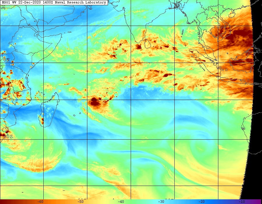
A Depression is brewing over Bay of Bengal in far seas as the predecessor low has formed near the Andamans. Numerical weather models indicate that this low pressure area will eventually intensify over Central Bay of Bengal and push North westwards towards North Andhrapradesh and Odisha coasts by 4th December. However they indicate that landfall won’t happen over these coasts, but instead, it would veer East North East towards Bengal/Bangla coasts after coming precariously close to Odisha coasts.
Since this is an evolving situation, the intensity movement and track of this system would vary dramatically. Official agency IMD is of the view that the system would near North AP and Odisha coasts by 4th December morning and it forecasts heavy to very heavy rains for North AP coasts between 3rd and 4th December, Odisha coasts between 3rd and 5th December and Gangetic West Bengal on 4th and 5th December
Impact of this system on Tamilnadu is negligible, but isolated thundershowers does break out mainly in western interiors of the state. Such rains will continue for next 2-3 days in interior TN and it will mostly happen in evenings after warm/clear days. Easterlies will also remain weak during this period as the developing cyclone alters the wind patterns in Bay of Bengal. However, around Dec 7/8, a fresh easterly wave is set to affect TN coasts, which will be tracked in due course.
Another low pressure area which was lying over East Central Arabian sea has interacted with westerlies in upper troposphere, and has heralded unseasonal rains for Gujarat, parts of Konkan including Mumbai, Interior Maharashtra and SW Madhya Pradesh. This event will fade away eventually today and rains will taper out in aforementioned places. After this westerly passage, northern plains of the country would see increased chill as winter weather takes grip.

