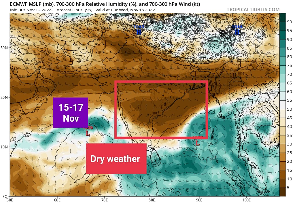
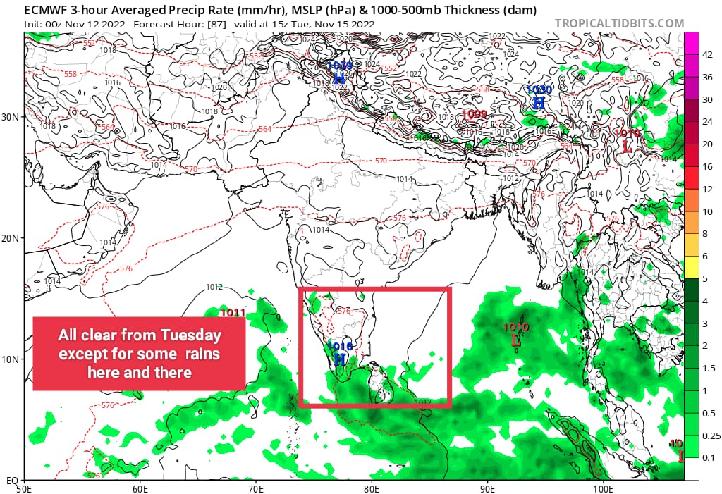
Gradual reduction in rainfall from Monday onwards
Well marked low pressure area which laid centre in southwest Bay of Bengal crossed the land of Tamilnadu, close to Mayiladathurai last night pounding Sirkazhi with 45 cm (official) TN agro ARG at Sirkazhi reported 56cms (560mm) of rain in span of 24 hrs.
KTCC districts too saw widespread rains for past 2 days with heavy rain registered at many places.
Low pressure area is expected to emerge into Arabian sea by Monday, due to that, gradual reduction in rainfall is expected over Tamilnadu including KTCC districts (Kanchipuram, Thiruvallur, Chengalpattu Chennai ) from Monday evening.
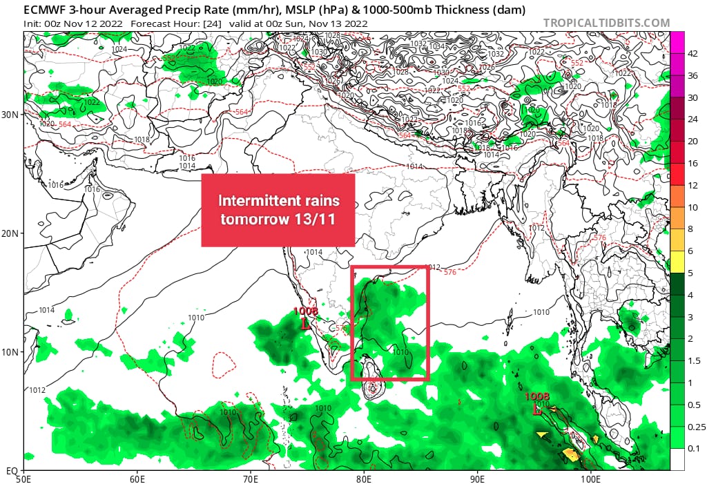
On and off rains ( intermittent) , at times heavy will continue all over Tamilnadu and South AP till Monday, after which dry air from central India will take grip.
Chennai City forecast:
City will see partly cloudy skies with on and off rains, at times heavy till Monday morning or afternoon after which rains are expected to decrease.
What’s next?
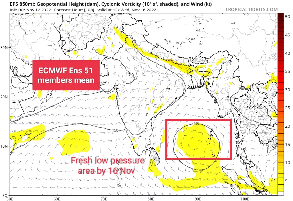
Numerical weather models are indicating that a low pressure area is expected to form over Southeast bay by Nov 15/16, which is expected to move towards Tamilnadu/AP coasts by 19th. More on this will be updated later.