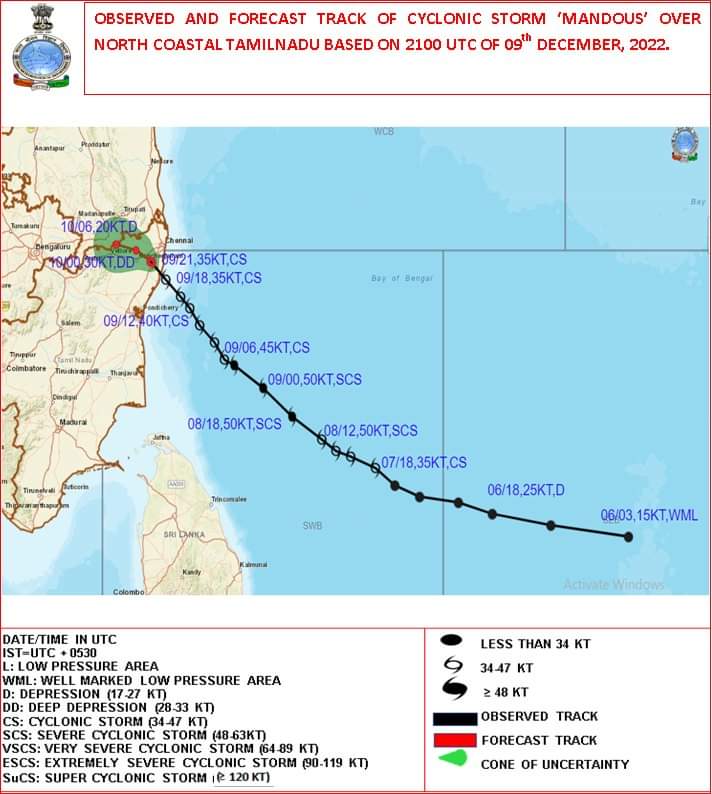
Mandous makes landfall near Mahabs as a cyclonic storm
Cyclone Mandous crosses between Chennai and Markkanam close to mahabalipuram last night between 12-3am.
Cyclone Mandous which lay over Southwest way of Bengal off coastal Tamil Nadu has made landfall as cyclone strength itself last night.
Gust up to 95km/hr was recorded in an automatic weather station in Perungalathur, Chennai city Nungambakkam automatic weather station recorded of 71 km/hr winds at 12:30 a.m.
Widespread rainfall across KTCC districts have been observed in last 36 hours. Many places in Chennai city and have received rainfall in range between 160 mm to 250 mm. This cyclone has satisfied every bloggers wish.
Rainfall observed in Ap and KTCCin last 24hrs
Naidupeta-270mm
Meenambakkam 115mm
Nungambakkam 100mm
George Town 89.6mm
Chennai city and surrounding areas have suffered many damages due to cyclone Mandous. Many trees have been uprooted and then have been disruption in electrical poles and a few low lying areas or waterlogged.
Forecast for next 48hrs
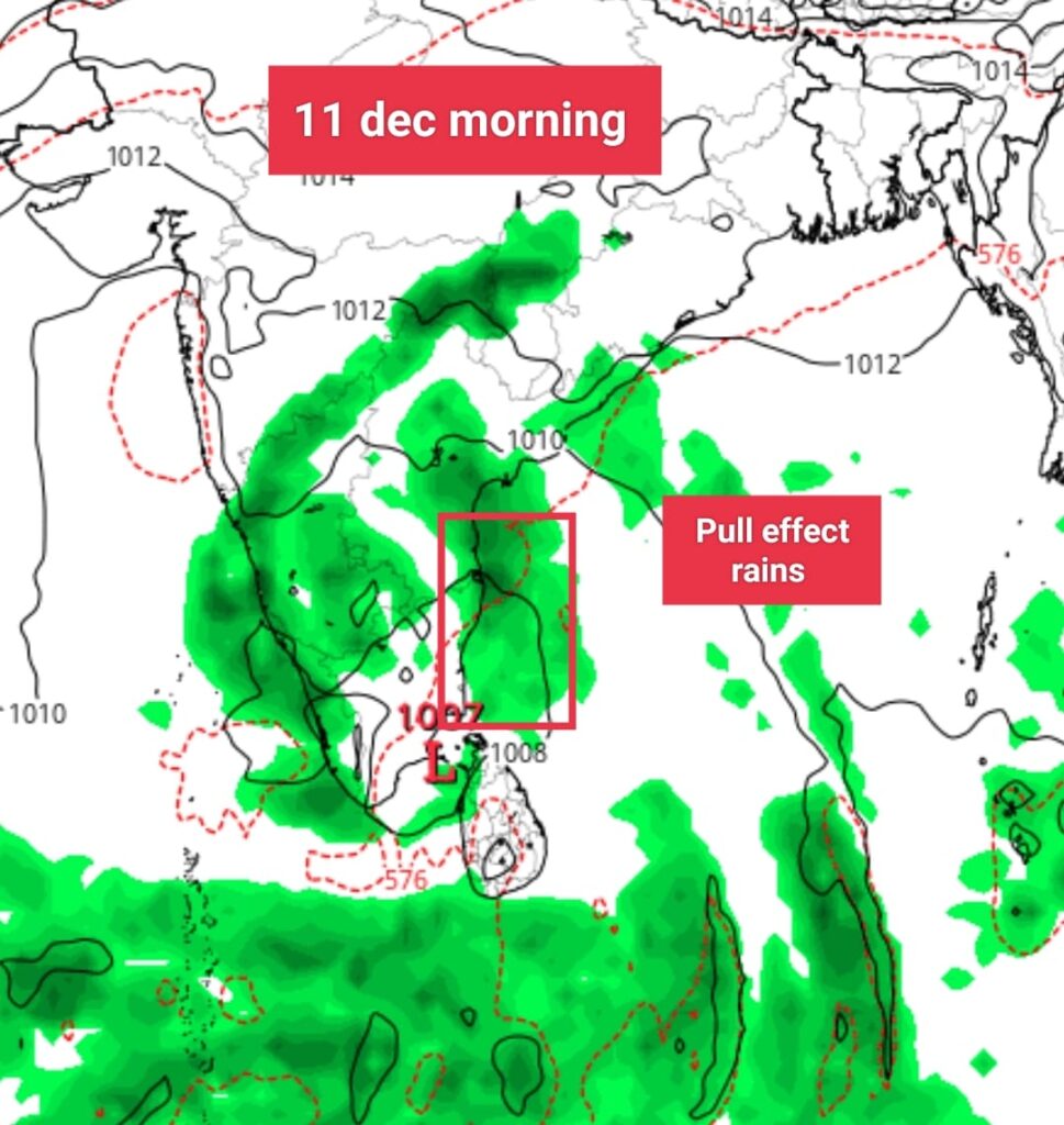
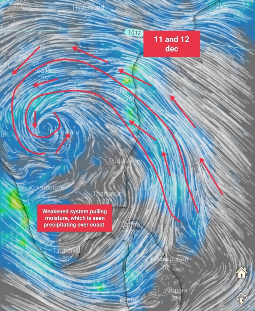
Coastal areas of Tamilnadu, Chennai including South coastal Andhra Pradesh, will see rains during morning and late night as a result of moisture pull from weakening system inside of land.
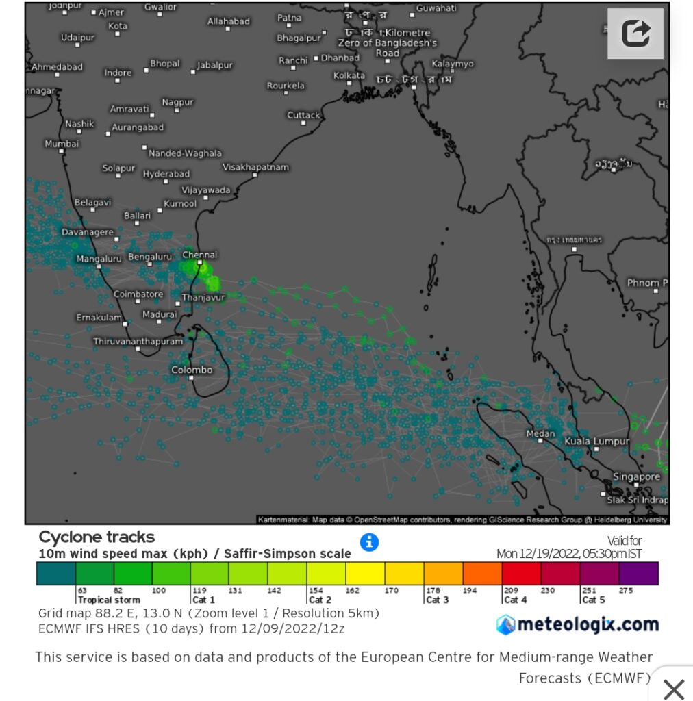
What’s next?
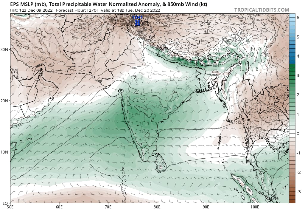
ECMWF ens are bringing in next system within 9 days from today…. A lpa / max weak depression that too low in latitude. Have to wait and see how this unfolds.
Good news is that after this cyclone passes away , there won’t be any major dry air intrusion into coastal Tamilnadu and AP like what we had in 2nd half of nov from Central india…. Warm moist air directly from South China sea through andaman sea will continue to sail throughout TN atleast until dec 21 according to ECMWF ENS MEAN.