
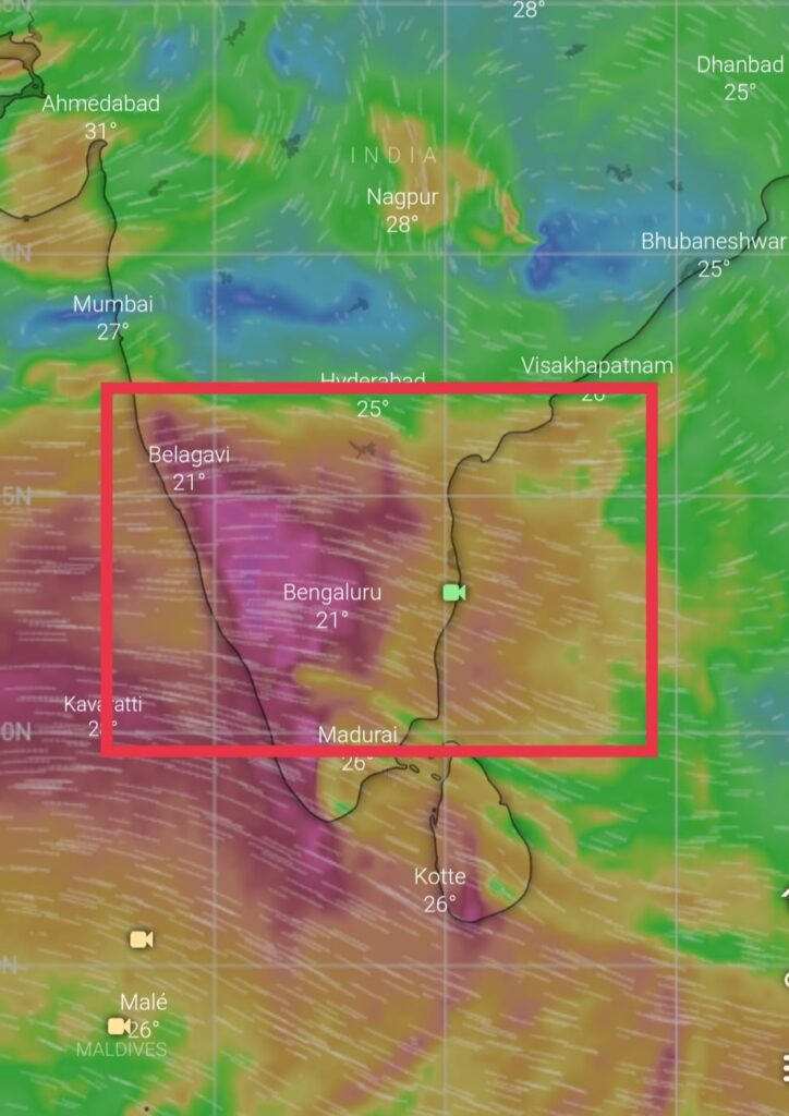
Thunderstorm activity decreases over Tamil Nadu as Southwest monsoon surge picks up over west coast of India
Chennai city has witnessed its one of the best June in last decade. City has surpassed its average rainfall of June and July combined together in 3-4 days of June itself. City has recorded 16cms against the June’s month average of 5cms.
As Southwest monsoon force pickups over West coast of India, T.storm activity is likely to decrease further over Chennai and surrounding areas ( KTCC) and other districts of TN as very strong westerly winds wont support convergence activity. There will be decrease in rainfall activity for next 3-4 days. But few showers cannot be ruled out completely.
When’s next rain?
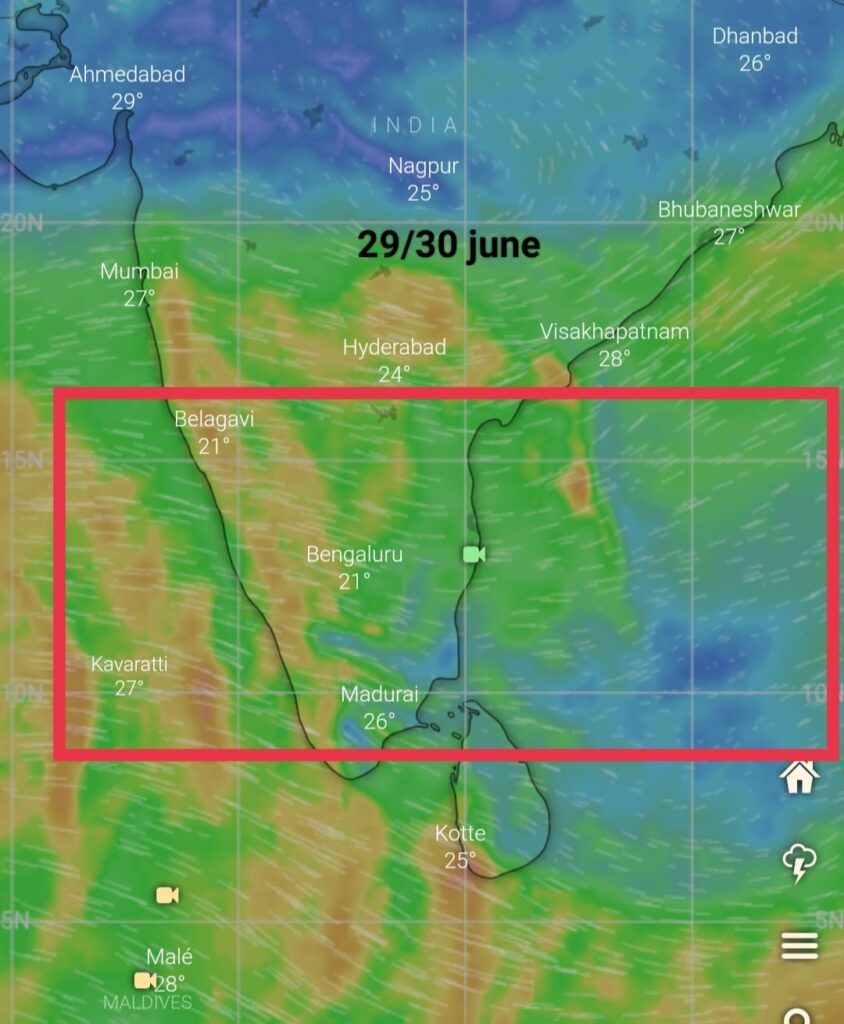
Numerical weather models are indicating that southwest monsoon surge will weaken a little from Wednesday 29th June onwards , as the surge weakens it will pave way for convergence near coast, bringing thunderstorms again over KTCC and other districts of TN for some period of time after which the surge will pickup again.
Chennai city forecast:
Skies of Chennai will be cloudy with possibility of some scattered showers exists towards evening/late night as moisture lingers around.