Monsoonal Lows in both seas to usher in a wet spell over Peninsula
Overall NE Monsoon rainfall figures indicate that Tamilnadu has received 45cm of rains as against normal of 29cm (till date). Last two weeks had been productive for the state as a whole with all parts of the state in ‘Normal’ or ‘Excess’ category already.
As on date, the top 5 performers of this monsoon (met subdivision wise) are as follows:
Karaikal 982mm
Pondicherry 863mm
Kanyakumari 857mm
Chennai 815mm
Nagapattinam 810mm
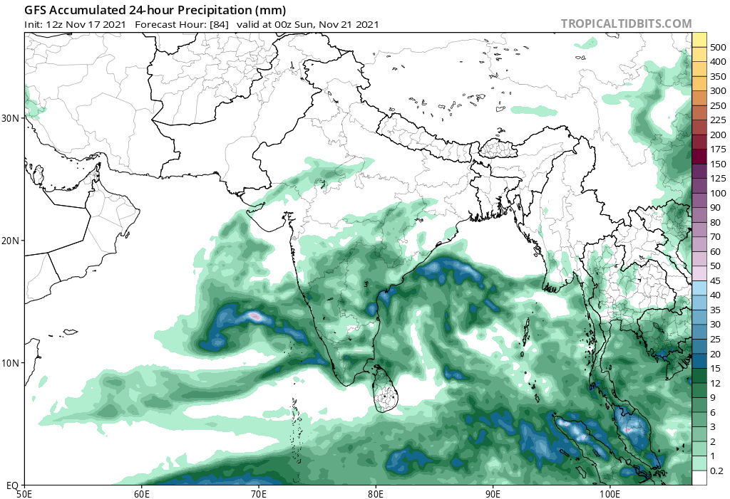
In this backdrop, the Peninsula slips into yet another active phase, this time in the form of dual monsoonal lows, one in Bay of Bengal and another one in Arabian sea. Low pressure area in Bay of Bengal currently prevails over South East and adjoining South West Bay of Bengal. This is forecast to veer towards NTN/SAP coasts and prevail over South West Bay of Bengal and adjoining West Central Bay. Under the influence of this system, heavy to very heavy rains with exceptional heavy rains are forecast for isolated places in North Tamilnadu, South Andhra Pradesh and Rayalaseema today.
Red Alert advisory is promptly issued by the official met agency for Chennai, Thiruvallur, Kancheepuram, Ranipettai, Rayalaseema and South Coastal AP surroundings. Chennai in particular needs to buckle up yet again for this rain spell, as chances of very heavy spells loom large (for today). With heavy spells possible in catchments around Chennai and Rayalaseema, it is highly likely that inflows will be higher for rivers and lakes in the region, and water managers should remain alert on the evolving situation. Since heavy to very heavy rains are forecast, inundation in low lying areas are possible in parts of the city, as the soil is already saturated. People are advised to keep an eye on waterlogging eventualities.
As far as the shelf life of this low is concerned, it is set to weaken over South AP, but not before its effects are heavily felt in South Coastal AP, Rayalaseema and adjoining Karnataka. Nellore, Prakasam, Chittoor, Kadapa, Anantapur districts in particular are forecast to get very heavy rains today and tomorrow. Another low pressure prevails over East Central Arabian sea and it is expected to linger for few more days, even as it strengthens and moves west north west. This system has already dumped lot of rains over Kerala, Coastal Karnataka and adjoining ghats. Parts of Konkan, South Gujarat and Maharashtra ghats can see unseasonal rains for a day or two and the rain effects are set to vane in coming days.
Rains will reduce briefly over Tamilnadu for next 2-3 days, but a wet spell is in sight just as early. A fresh eastery wave is set to affect Tamilnadu coasts from Nov 21/22 onwards and heavier rains will return to Tamilnadu shores yet again, as the mid range forecasts allude to.