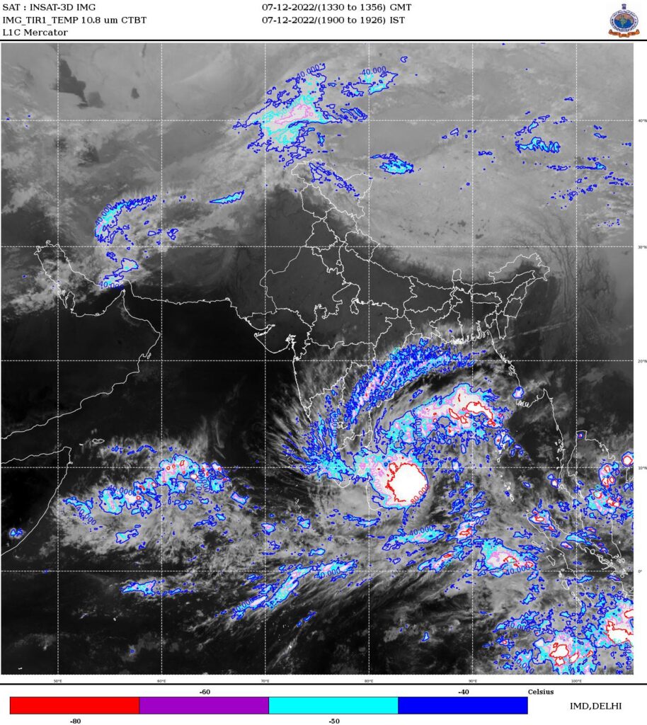
Heavy rainfall warning for TN/SAP coasts due to Cyclone in Bay
The Deep depression continues to further intensify into a named cyclone of the season “Mandous”. This system is expected to track further north westward towards NTP/SAP coasts in the next 24 hours.
Under the influence of the same, expect moderate to heavy rainfall along TN/SAP coasts and very to very heavy rainfalls in a few places in NTN/SAP coasts, extreme spells could occur in isolated places. As the system further tracks in land over the day or two, the rainfall would continue to occur in coasts as well as spread further inland.
Expect surface winds to pick up from today onwards, and peak around Friday. Seas may be rough due to the incoming system.
Please watch the traffic warnings and take adequate precautions while venturing out.