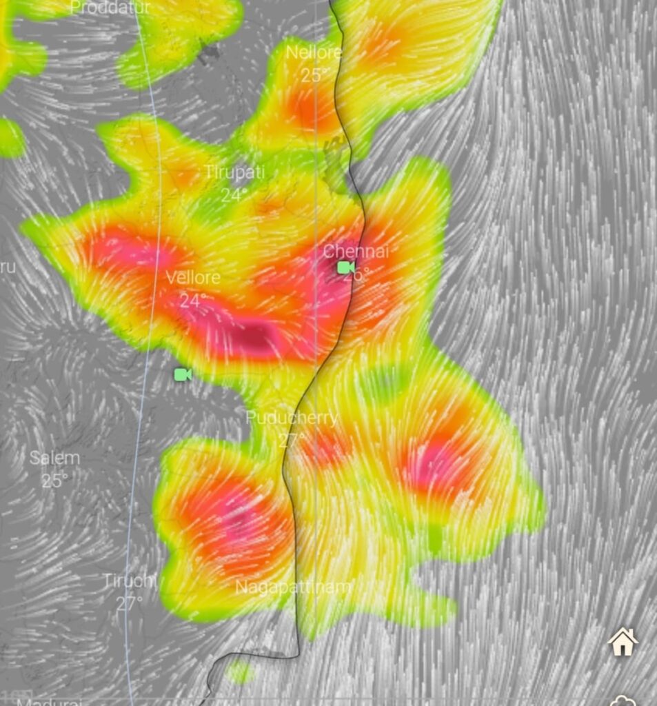
Thunderstorm activity to increase from today over Tamil Nadu
Hot and dry phase of weather is likely to come to an end over North TN and south AP as T. Storm activity is likely to increase over these regions including Chennai city and surrounding areas.
An upper air cyclonic circulation over AP waters will power these thunderstorms to from tomorrow onwards.
Enhanced rainfall activity is likely over KTCC districts from tomorrow onwards.
Forecast for KTCC districts.
Thunderstorm are expected over these regions from today onwards. The mornings will be partly cloudy followed by development of clouds towards afternoon which will transform into rain- storm by evening and it will move towards coast line during late evening/ night time. This would be the pattern on next 5 to 6 days over these regions.
Update on Northeast Monsoon:
Global numerical weather models are forecasting a low pressure area to develop over east central BOB during first week of October . Path of low pressure and the intensity still uncertain as the duration length the forecast is long.
As first two weeks of October is the period of transition (slowing down of Southwesterly winds , change in direction of winds , development of anti-cyclone over northwest india etc) the bay of bengal is always conductive for development of tropical cyclones during this time . If the oct first week low turns into a cyclone then the arrival of north-easterly winds over south peninsular India make get a little delayed. So we should wait and see whether this low pressure turns into a cyclone or not .
As of now , models are hinting towards am early arrival of NE monsoon over Tamil nadu and AP. As per models Monsoon may hit the coast anytime between 14-18 October. ( SUBJECT TO CHANGE)